Phase IV builds upon the infrastructure and algorithms developed in Phases I through III by expanding the SMART corridor testbed and introducing a data-driven framework for continuous intersection safety monitoring. While earlier phases focused on LiDAR-enabled signal control and connected vehicle messaging, this phase emphasizes corridor expansion, safety analytics, and statewide V2X readiness.
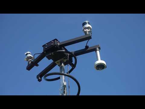
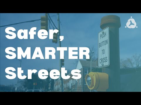
The project analyzes pedestrian safety near the pedestrian bridge within the SMART corridor to understand unsafe crossing behavior and vehicle-pedestrian conflicts, and develops a new Intersection Safety Score framework using LiDAR trajectory data and signal-violation metrics, integrated into a Power BI dashboard for real-time monitoring. The SMART corridor testbed will be expanded to the Hillen Road and Harford Road intersection, a statewide inventory and operational assessment of Roadside Units (RSUs) across Maryland will be conducted, and the team will collaborate with Baltimore City DOT to integrate advanced V2X signal applications including SPaT broadcasting and LiDAR-based signal actuation.
The project will deliver a comprehensive analysis of pedestrian safety risks near the SMART corridor pedestrian bridge; an Intersection Safety Score methodology that quantifies intersection risk using trajectory-based conflict analysis of red- and yellow-light violations, vehicle-vehicle and vehicle-pedestrian conflicts, and near-miss events; and a Power BI safety-monitoring dashboard enabling agencies to visualize and track intersection safety performance. It will expand the SMART corridor testbed to the Hillen Road and Harford Road intersection through LiDAR installation, sensor calibration, and integration with existing connected vehicle systems. A statewide inventory and operational readiness assessment of Maryland’s RSUs will evaluate device status, firmware compatibility, and SAE J2735 messaging capability, and the project will conduct field validation of V2X-enabled signal applications, including SPaT broadcasting, LiDAR-based signal actuation, and trajectory-based interventions such as dynamic all-red extensions.
Universities Involved
Morgan State University
Principal Investigators
Ehsan Mehryaar
Mansoureh Jeihani
Di Yang
Anam Ardeshiri
Expected Research Outcomes & Impacts
These outcomes will contribute to safer urban intersections through the integration of advanced sensing technologies, connected vehicle communications, and data-driven decision tools. The Intersection Safety Score and Power BI dashboard give transportation agencies a quantitative, continuously updated picture of intersection risk, enabling them to identify locations requiring operational improvements and to monitor safety performance across corridors.
The statewide RSU inventory and readiness assessment will support future connected vehicle deployments across Maryland, while field validation of V2X-enabled signal applications demonstrates practical pathways for deploying SPaT broadcasting and LiDAR-based actuation. Collectively, the results advance scalable smart-corridor infrastructure and support agencies in expanding connected infrastructure deployments and improving safety performance across urban corridors. Potential commercial applications include licensing of the SDSM generation algorithm and a portable LiDAR deployment toolkit, with industry partnerships explored for scaling to city-wide corridors.
Subject Areas
Connected and Automated Vehicles, V2X Communications, LiDAR, Intersection Safety, Pedestrian Safety